TIERRA DEL FUEGO NATIONAL PARK TREKKING
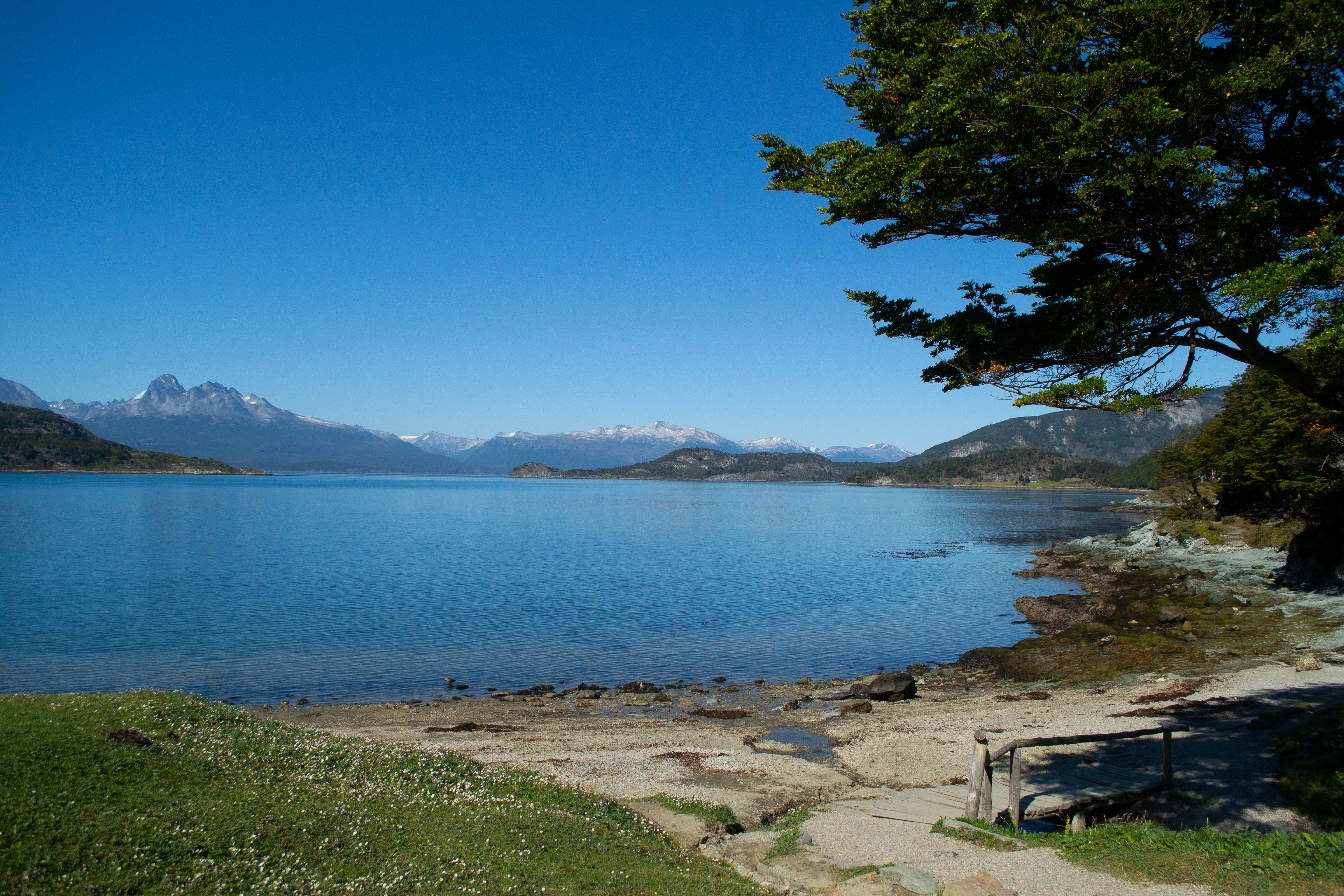
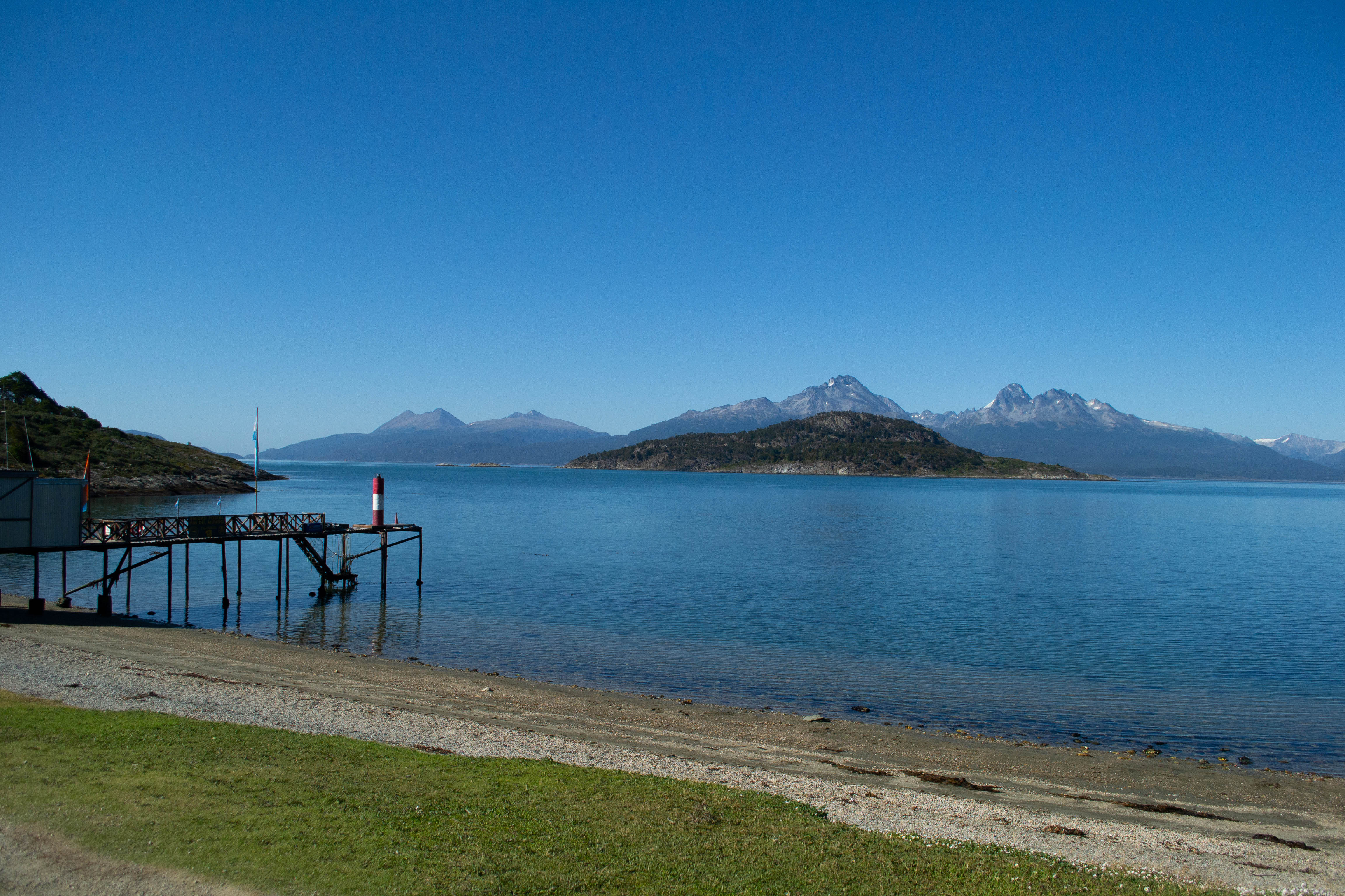
The National Park Tierra del Fuego has a special charm, mountains and coasts converge to create stunning scenery..
Hiking along the different trails, we will be able to experience a deeper connection with the environment, each of us forming his or her own personalized interpretation common experience.
Pampa Alta trail: Medium difficulty
We’ll walk 4.9 km in about 1 and a half hours, Hiking through the nothofagus forest, from Rio Pipo’s valley to Ensenada (inlet) Zaratiegui. From the panoramic viewpoint we will have a perfect view of the Beagle Canal and its sorroundings.
Operational Season: October – April
Cost trail: Medium difficulty
We will walk for 3 hours, covering 6.5 km.
We will walk for 3 hours, covering 6.5 km.
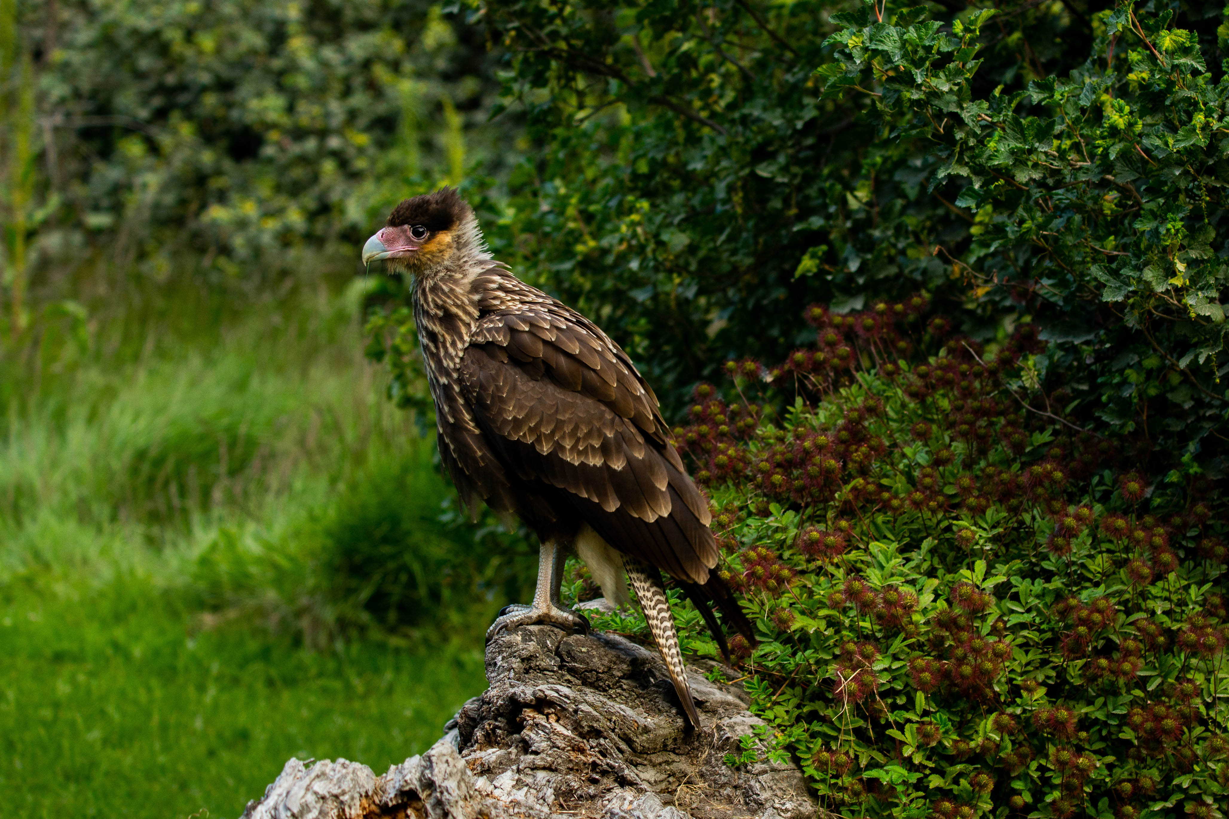
This trail includes a walk along the shore of the Beagle Canal, entering later into the forest. We will be able to see trees like the ever green beaches, the winter’s bark, the firebush, and bushes like the holly- leafed barberry and box-leafed barberry among others as well as birds of the coastal and forest environments.
Operational Season: October – April
Hito XXIV Trail: Medium difficulty.
Total length 7 km, round trip, lasting around 3 hours.
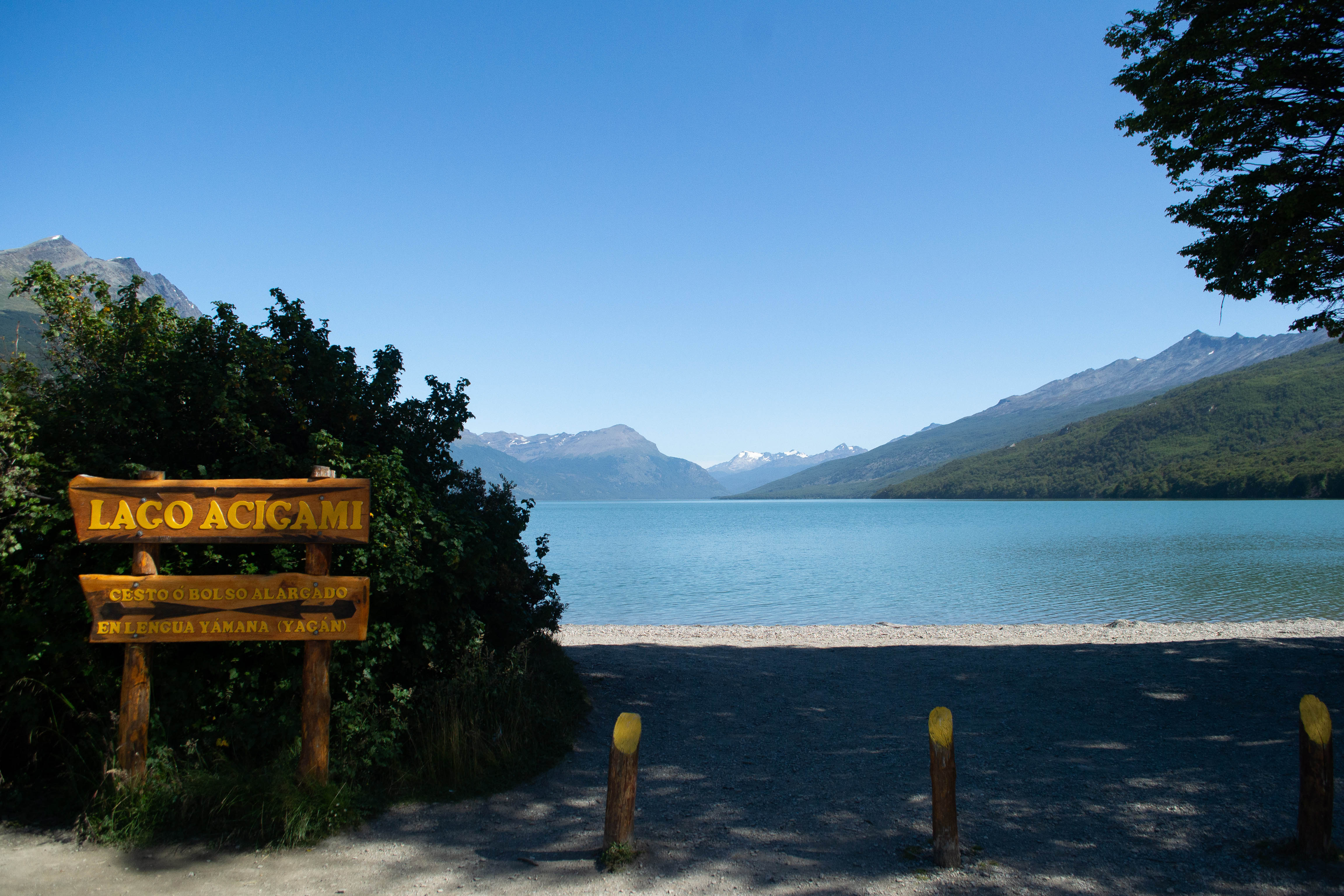
This path goes along the coast of the Roca Lake towards the NW, up to the International border between Argentina and Chile. Once we’ll get to the border, we will return to the Roca Lake parking area. Trough the forest we will be able to appreciate the local flora and fauna.
Operational Season: October – April
Paseo de la Isla: Low diffculty
Duration: Aproximately 20 minutes
This trail crosses the Cormoranes Archipelago along the coasts of Lapataia and Ovando Rivers. Good opportunity for watching aquatic birds.
Operational Season: October – April
Laguna Negra: Low difficulty.
Duration: Aproximately 20 minutes
We walk trough the forest until we reach the bog. Good place to explain the peat bogs, peat bogs’ origin and species that live there.
Operational Season: All Seasons
Del Turbal: Low difficulty . Distance : 2 km
Alternative trail to reach Lapataia Bay. You can see an uninhabited beaver dam, walk besides the peat bog and, at the end, walk trough the forest. There is an important panoramic viewpoint from where you can appreciate Lapataia Bay. The path finishes al Lapataia panoramic viewpoint: however, if you like, you can continue combining with the Senda de la Baliza trail.
Operational Season: All seasons
Senda de la Baliza: Low difficulty.
Distance: 1.2 km
This trail goes to a beacon in the border of the Restricted Area of the National Park, crossing an active Beaver colony. Great oportunity for bird watching.
Operational Season: October – April
Duration: aproximately 6 to 7 hours. It includes a snack (light meal) outdoors. Services in English-Spanish.
The different trails choices will depend on the passengers’ expectations and fitness level.
